

With the weather getting noticeably cooler as we moved into autumn, Carolyn and I were keen to get back out on Dartmoor before it got less inviting for walkers, this following our little expedition to Natsworthy & Grimspound back in August - link below.
 |
| JJ's Wargames - Natsworthy & Grimspound |
On that occasion I picked a walk from 'Easy Walks on Dartmoor' by Paul White and published by Bossiney Books, but this time I turned to another of this series of books, 'Short (ish) Walks on Dartmoor, detailing fifteen different walks ranging from 6-8km or 4-5 miles in real distance, with the one we chose, Lustleigh Cleave, walk seven.

As on the previous walk I planned in the route on my phone and iPad using the Footpath app and you can see the route detailed below on the Ordnance Survey 1:25000 walkers map, showing the area of Lustleigh Cleave, next to the village of Lustleigh, just north-west of Bovey Tracey on the eastern edge of the moor close to Hound Tor.

Lustleigh Cleave is described in the book as the most demanding of the walks included with strenuous gradients, above a wooded valley with rocky outcrops and to be prepared for mud!
The contours on the map give a good idea of what to expect and Footpath allows the plan to include the usual waypoints along the route that also coincide with the description in the book allowing me to layout our photos from the day in the sequence we progressed along the route, to better give you an idea of the terrain and the glorious Devon countryside we were progressing through.

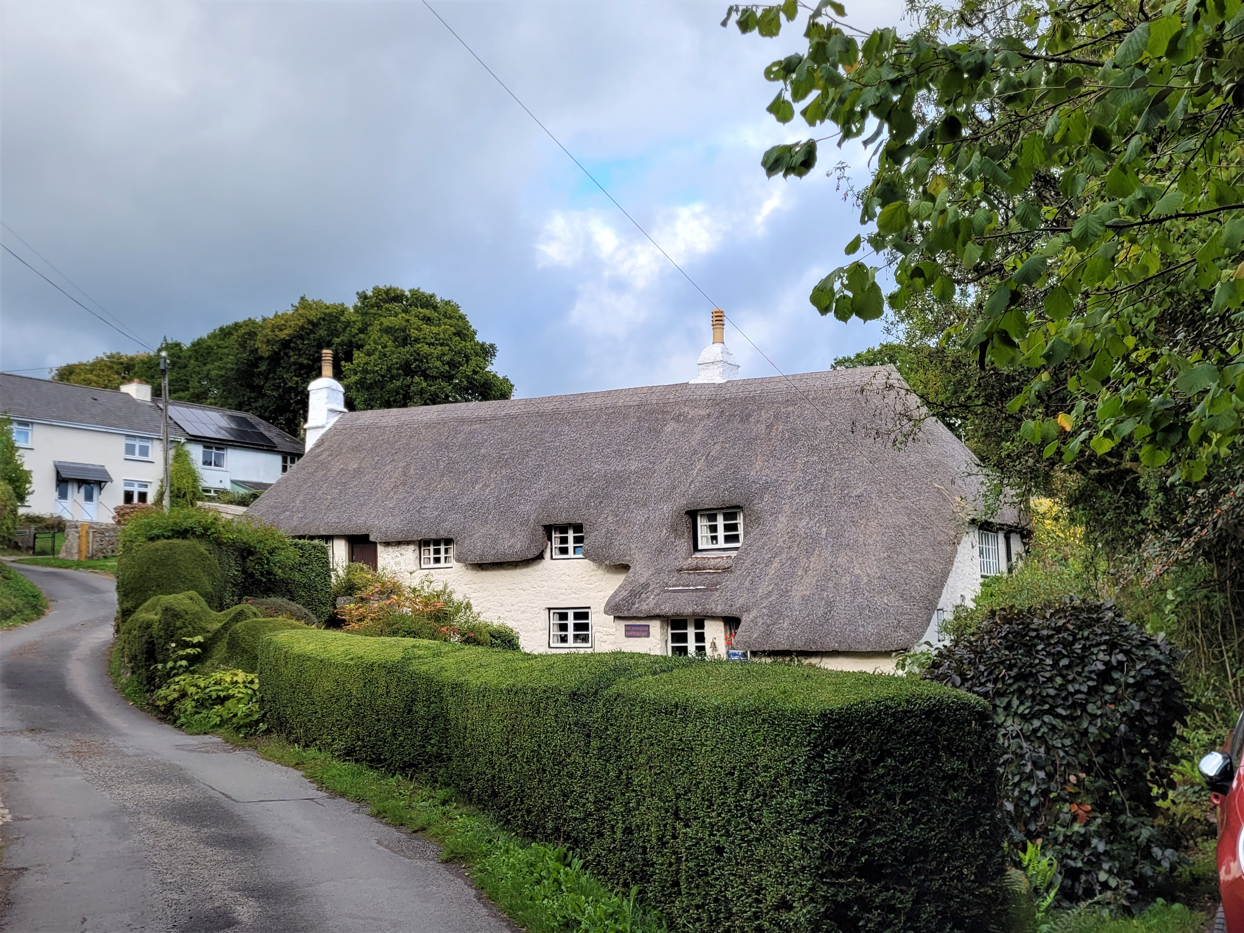
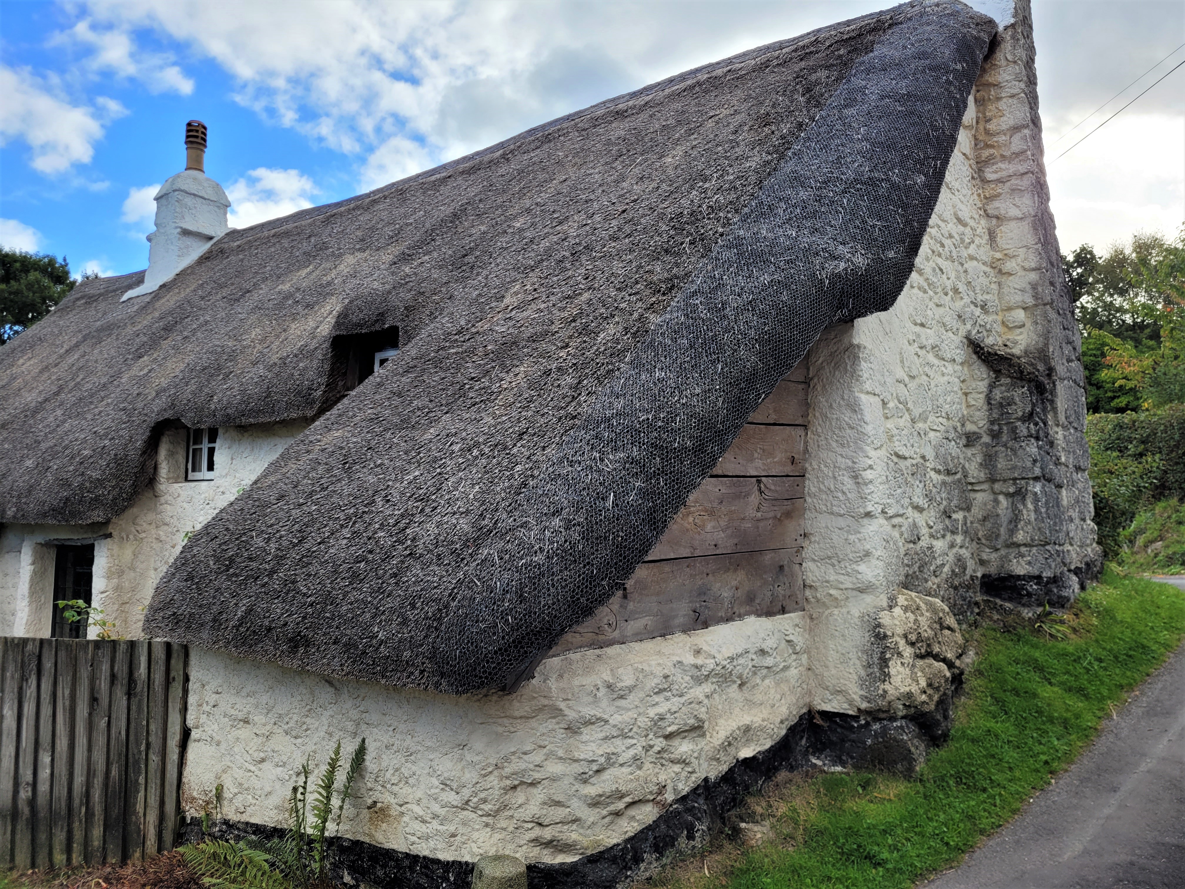
On finding our way into the sleepy little village of Lustleigh, we parked the car close to the church and village shop next to a narrow lane that leads to an old orchard that was gifted to the Parish Council in 1966, by Mr & Mrs W. G. Bennett; and the trees, a mixture of cookers and eaters, were absolutely festooned with apples when we walked through with a sign close by inviting villagers to a communal picking the following weekend.


The orchard is the start and end point for the walk that provides access to several foot paths that lead upwards out of the village, through woodland, to crest the ridge that looks out over the valley, or cleave, towards Hounds Tor beyond, with a loop back thorough the lower valley woodland via Foxworthy Bridge at the far end returning via Pethybridge before coming back into the village via the orchard.

The orchard is also home to a fantastic natural monument, a large granite rock, with a throne upon it on which are recorded all the names of the annual May Queens for the village from 1968 to 2019, but with space running out it looks like they'll need to find another rock soon.


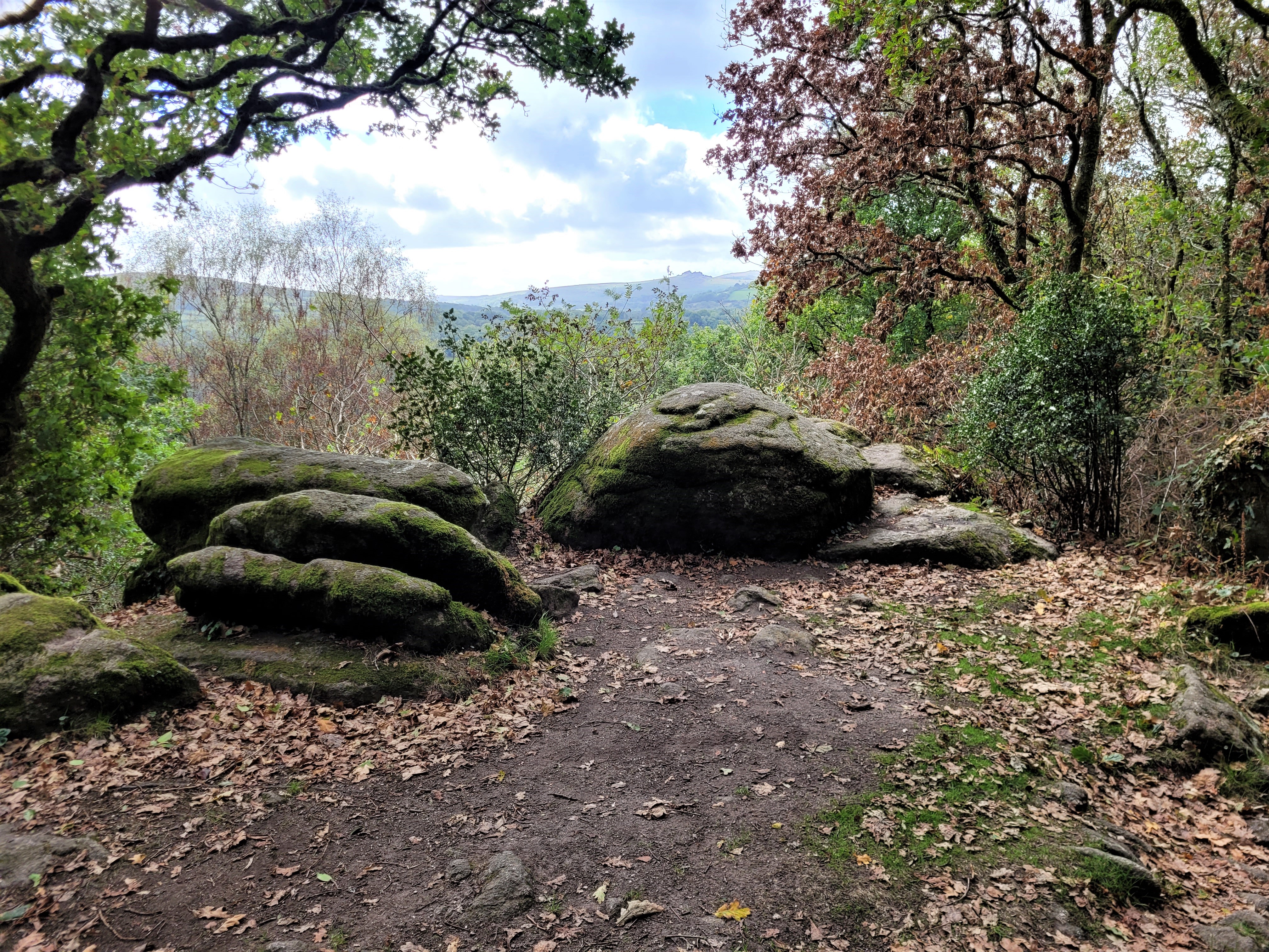
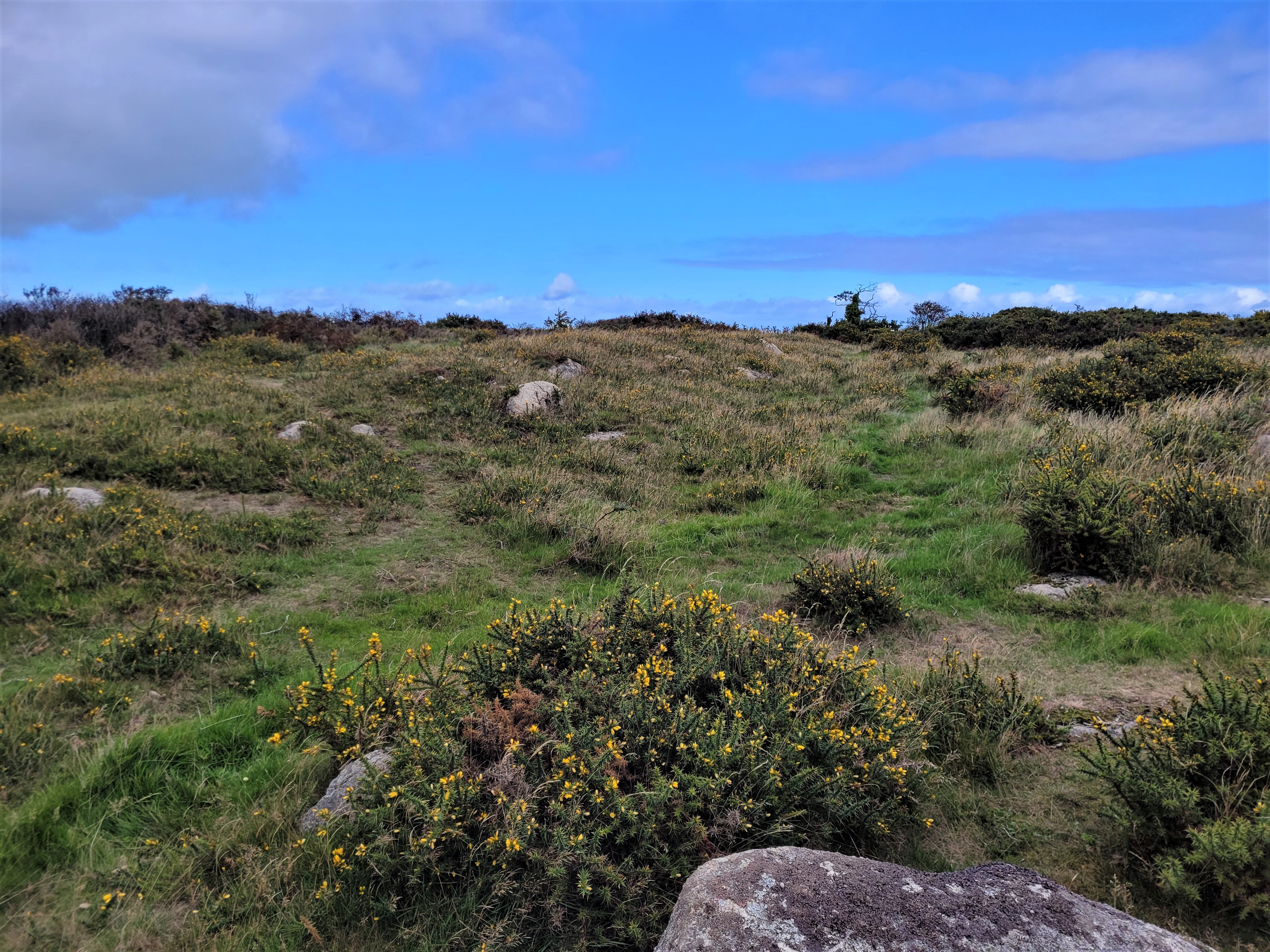
The gradient became gradually steeper as we neared the top of the ridge, to gradually flatten out with the open woodland giving way to large granite blocks and boulders that are the mark of upland Devon with the two large open moorlands of Dartmoor and Exmoor that form the bulk of the landmass of the county; leftover remnants of Britain's Ice Age when the ice sheet covering the country reached its most southern extent, gouging out the cleaves and valleys and depositing the large boulder formations on the high ground when the ice receded to leave the granite tors, now lined and scarred by the centuries of rain, snow, ice and weathering.
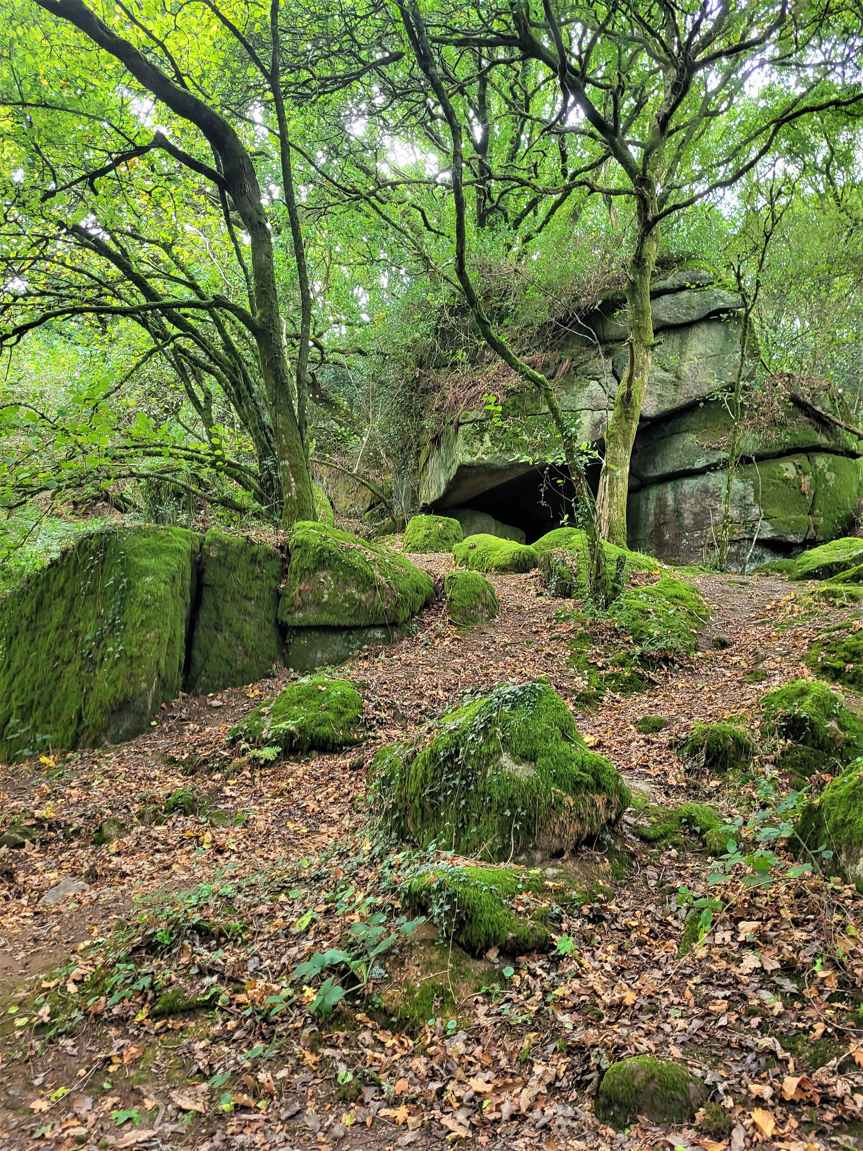
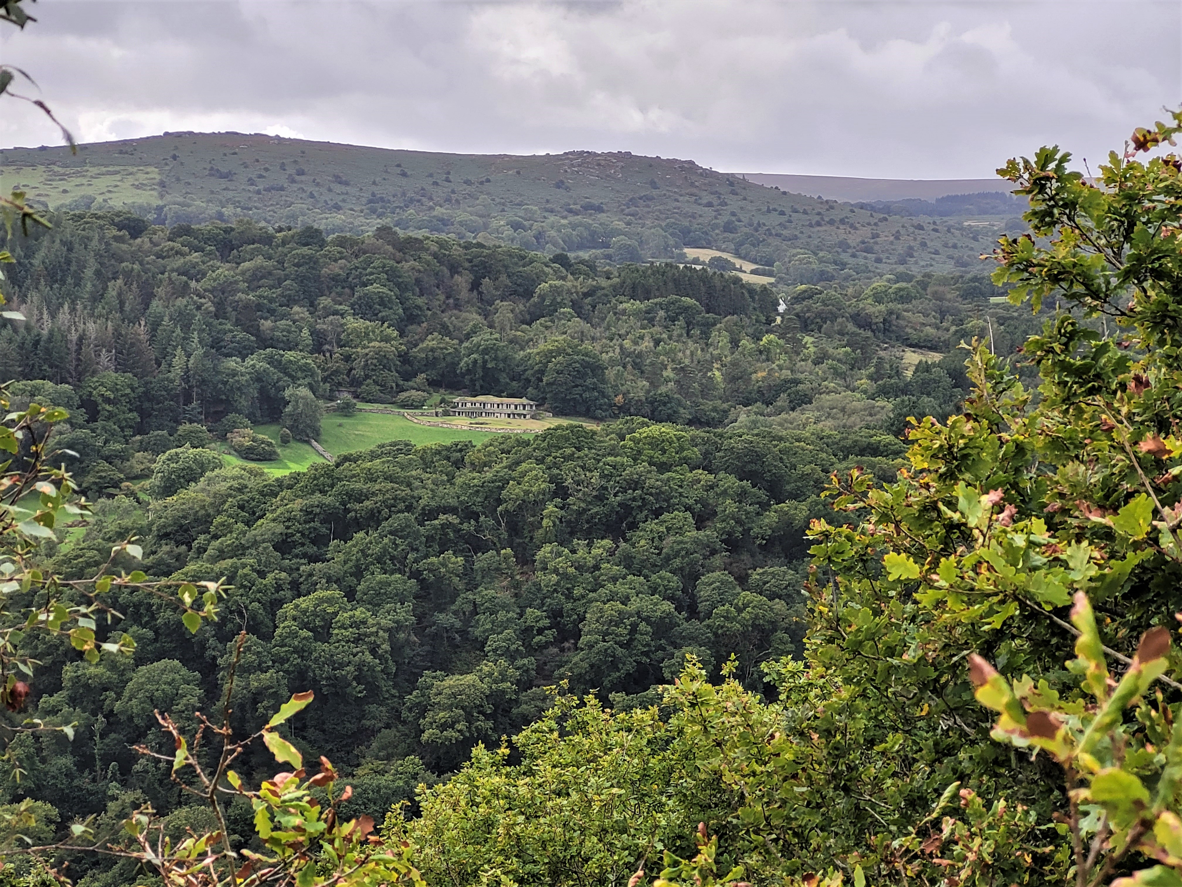
As the trees parted to our front the path turned at the end of the ridge overlooking Lustleigh Cleave below covered in a thick tree canopy with the open moor beyond and the distant rocks of Hound Tor, our first checkpoint at Sharpitor, Nut Crackers or Logan Stone and a perfect place to stop for lunch whilst admiring the view.


 |
| The remains of the Iron Age fort at Hunters Tor |


 |
| All the streams and brooks on the moor are crystal clear and freezing cold! |
 |
| Our sign points towards our path back along the cleave to Lustleigh |
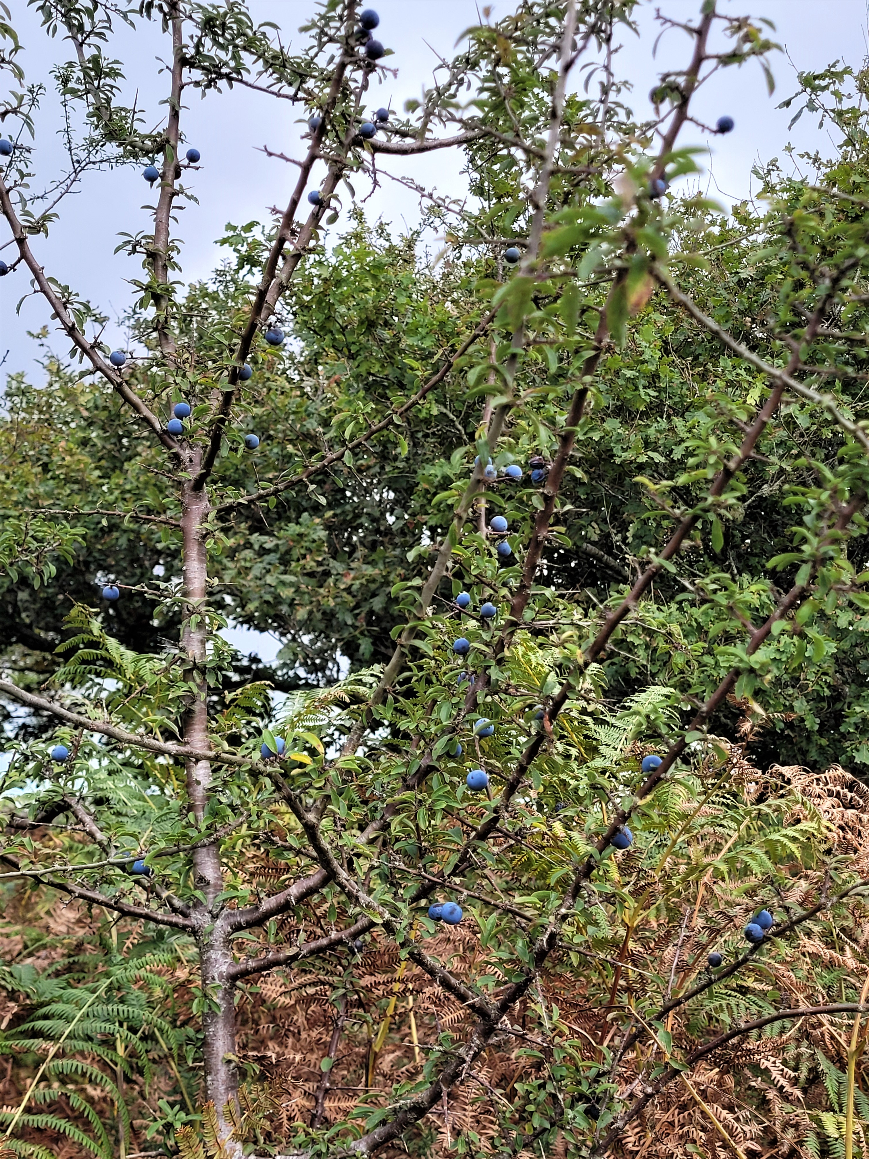
The path back through the lower woodland was a delight and very quiet with the obvious signs of autumn and even the birdlife that would normally be quite noticeable and noisy at other times of the year resigned to a quieter energy saving time as winter approaches.


 |
| Geotrupes stercorarius or the Dor beetle. We were conscious to watch where we were walking to avoid crunching these hardworking little beetles going about their business cleaning up the woodland floor |


Another Dartmoor Walking Season comes to an end and I look forward to writing about more adventures into its ancient landscape in 2023.
Lustleigh - what a start - I love the valleys fringing Dartmoor, I find them more interesting than the moor itself.
ReplyDeleteExcellent stuff, thanks for sharing.
ReplyDeleteHi Chaps,
ReplyDeleteThanks for your comments. Lustleigh Cleave made an excellent walk to end the season on.
Cheers
JJ