

As many of you will know, I very much enjoy combining as many pleasant hobby activities as I can, and with a hobby like historical wargaming, that opens up huge opportunities, two of which include getting out walking and enjoying copious amounts of fresh air together with taking in places of historical interest, and the south-west of England has lots of places that help tick both those boxes.
If you want to get an idea of what I'm talking about, just click on the link in right hand bar or below which will take you to multiple different posts looking at amazing countryside and wildlife that typify this part of the world
 |
| The area between Plymouth and Dartmouth is known as the South Hams, consisting of narrow lanes with high bocage style Devon hedges surrounding them and the patchwork of fields. The long beach just below Dartmouth was earmarked by US forces to practice for D-Day culminating in Exercise Tiger in April 1944. |
 |
| The OS Map segment on the National Trust site for the walk shows the route we followed from the carpark at Point 1 out to Froward Point and along the cliffs before heading back to the car |
As well as enjoying walking a section of the South West Coastal that I haven't done before, the route led to the Brownstone Gun Battery that during WWII guarded the approaches to the important naval harbour of Dartmouth and Kingsbridge, which was right on the front line during the struggle to control the English Channel as well as an important departure point for US troops heading to the Normandy beaches for D-Day.
 |
| LST 289 entering the mouth of Dartmouth harbour. Froward Point can be seen in the right background https://www.exercisetiger.org.uk/index.php |
That role in support of the Allied landings included the training and run up to June 1944 when US troops practicing a full scale exercise ahead of them, Exercise Tiger on the 28th April 1944, specifically for the troops destined to land at Utah beach were attacked at night by German E-boats operating out of Cherbourg.
Two of the eight LST's were sunk that night and resulted in the loss of 630 US servicemen, and seeing survivors of the action limp back into Dartmouth the following morning, with casualties exceeding those suffered by those same units landing on Utah beach on June 6th 1944.
 |
| A rather battered but still floating LST 289 after her encounter with a German torpedo, seen here back in Dartmouth after Exercise Tiger |
Dartmouth has always been an important naval anchorage since the founding of the English navy under King Henry VIII, although today is mainly concerned with tourism and pleasure boating, but navigating the rocky coast that mark the approaches to the mouth of the River Dart has always been important to mariners and thus the walker of the path out to the cliffs is greeted by a reminder of that fact with the imposing structure that is The Daymark.
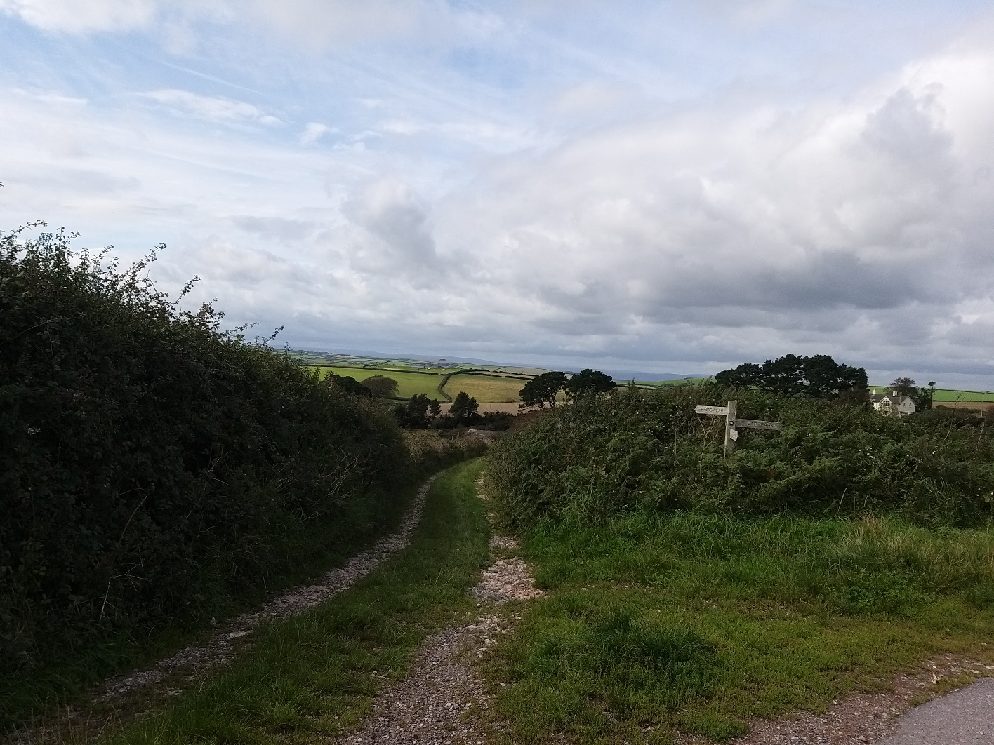 |
| The hedgerow countryside is well illustrated in this view from the track as we headed out to Froward Point |
 |
| The eighty-two foot high Daymark navigational marker looms above the clifftop fields |
Built in 1864 as a navigational aid to mariners, The Daymark is an amazing structure, built solidly to withstand the elements atop its cliff-top perch and I would imagine still a useful reference point to those at sea today.


 |
| The curve in the land close to the cliffs indicates the entrance to the River Dart and Dartmouth beyond |
The track down to the cliffs is the original military road that service the battery and after a turn in that road the walker is greeted with a series of old brick buildings one of which has been recommissioned as a Coastguard lookout post.
 |
| One of the converted buildings of the original WWII Brownstone Battery now serves equally well as a Coastguard lookout. |


 |
| The first of two 6" gun mounts with ammunition caches built into the concrete position |
 |
| Inside the mount can be seen the rusty bolts that once held the 6" gun in position |

 |
| A remarkable site was this six inch gun breech block lying on the path and clearly identifiable. |

The second position was originally serviced by a munitions store higher up the path with a purpose built light rail to roll ammunition trucks along down the gun below.


The illustration from the information board close by gave a ready impression of searchlight gunners clad in greatcoats lighting up unidentified traffic on the waters below as motor torpedo boat flotillas made their way to and from the Channel battleground beyond from their Dartmouth moorings.


 |
| The entrance to Dartmouth clearly visible from the lower searchlight bunker |
With our tour of the old coastal gun position complete we began the uphill-downhill trek that is the coastal path with the cliffs of granite so different from our local red sandstone around Exmouth, just a few miles down the coast.


That said the South Hams coast is beautiful when the sun is shinning and no finer place to be with a light picnic to compliment the views and a good walk either side to earn it.


If you fancy an afternoon out exploring Devon's wartime past and the glorious coastline of the South Hams you can find links below that give more details of the route we followed and the history.
https://www.nationaltrust.org.uk/brownstone-and-coleton-camp/trails/froward-point-walkhttp://ww2f.com/threads/pics-6-coastal-battery-devon.30499/
Next up the British Third Rate of Renown that was the large class of 74-gun ship of the line, HMS Revenge, another book to review, and lots of fun with Mr Madison's War on Vassal.
No comments:
Post a Comment